Discover leading GIS solutions for your organization and learn how location-based insights drive efficiency, resilience, sustainability and success.
Revolutionary farming
With the right tools, farmers can easily analyze their land, determine best practices and optimize production.

Streamlining construction workflows
Leverage a connected data environment to make informed decisions and enable efficient project management.

Building the modern grid
Leverage smart grid tech for sensor data and connected operational and information data to enhance grid insights.

Serving the community better
Make informed decisions to allocate limited resources efficiently and deliver better services to residents.


Data-driven public policy
Through maps and spatial analysis, government agencies harness location intelligence to inform data-driven policymaking.
Keeping communities safe
Make mission-critical decisions with real-time insights to prevent, protect against, and mitigate threats and hazards.
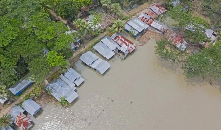
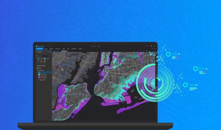
Effective flood management
Identify flood-prone areas and leverage an effective flood forecasting tool for emergency response.

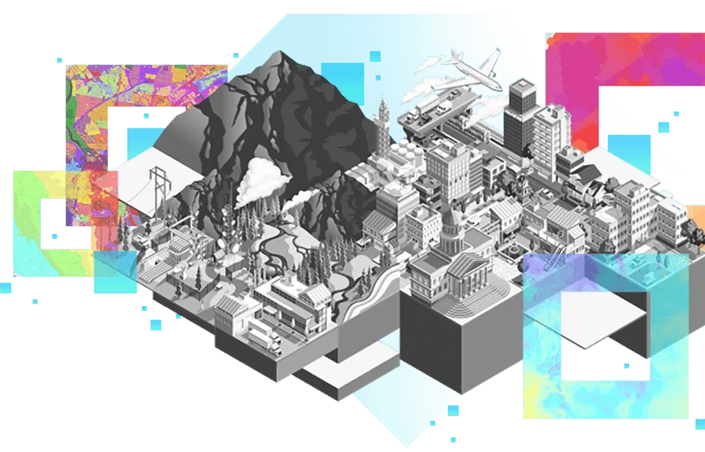
Explore a world of possibilities
Discover how ArcGIS is making an impact across industries and inspiring positive change that can help your organization.