
ArcGIS provides image analysis, management and organization-wide collaboration. Timely data-driven answers are possible for your business, with imagery and remote sensing data feeds included in the best-in-class location-based intelligence software.
Content
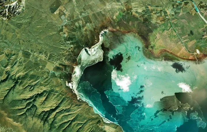
Explore imagery from an extensive array of authoritative sources, available through ArcGIS Living Atlas of the World and Esri partners. Easily combine sourced imagery with data from your own collections. ArcGIS makes use of content from any type of sensor, in any format or modality.
Management
Make imagery accessible across your organization with tools for hosting, managing, and streaming imagery for use in products and services. ArcGIS includes scalable image management options that integrate with Esri software for performing analyzes, creating maps, and sharing data organization-wide.
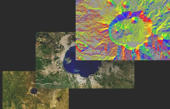
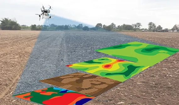
Reality mapping
Rapidly create highly accurate imagery products in 2D and 3D. ArcGIS includes reality capture and photogrammetry tools for generating feature-rich maps, models, and orthomosaics from all types of imagery and raster data, plus tailored software for drone mapping integrated with fleet management and flight planning.
Explore Site Scan for ArcGIS (SaaS)
Explore ArcGIS Drone2Map (Desktop)

Analysis and AI
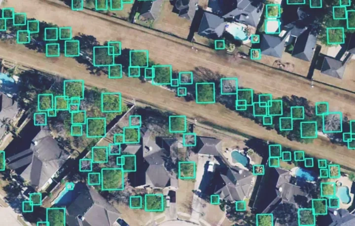
Apply the ArcGIS system's powerful analysis to imagery, including change detection, multidimensional, and video analyses. Combine image analysis with AI and use pretrained or custom models to analyze large volumes of imagery faster, automate shape and pattern recognition, and extract insights at scale.
Explore ArcGIS Image
Explore ArcGIS API for Python
Explore ArcGIS Pro Intelligence
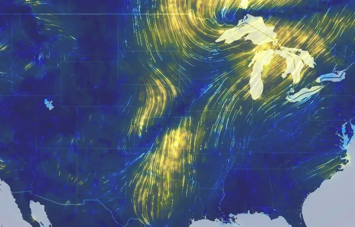
Visualization and exploitation
Look beyond images and their immediate data outputs. Give anyone the power to interpret imagery and take informed action. In ArcGIS, you can easily create and share interactive applications, impactful reports, and visual stories that include imagery and remote sensing data.
Explore ArcGIS Excalibur
Explore ArcGIS Image Analyst
Explore ArcGIS Experience Builder
Explore ArcGIS StoryMaps
Ready to learn more? Contact us to see how imagery and remote-sensing can help achieve your organization’s goals.
See imagery capabilities in action
Flexible deployments

Software as a Service
Host, analyze, and stream imagery collections in the cloud using ArcGIS Online or your own cloud storage. Save on infrastructure costs and maintenance while making your imagery more accessible across your organization.
Learn moreDesktop
Access your imagery and remote sensing data in a self-contained environment, even offline. Link your image collections directly to other ArcGIS applications for advanced visualization, on-the-fly processing, and deep image analysis.
Learn more
Enterprise
Secure your data without sacrificing scalability. Parallel processing and distributed computing provide support for massive imagery collections, plus automated data management keeps growing image inventories organised.
Learn more